报告时间:6月12日下午2:15-4:00
腾讯会议:729-500-484
讲座嘉宾:朱孝林,香港理工大学土地测量及地理资讯学系副教授,获得国家自然基金委优秀青年基金资助。2007年、2010年从北京师范大学获得本科和硕士学位,2014年从美国俄亥俄州立大学地理系获得博士学位,此后在科罗拉多州立大学(2015年)和加州大学戴维斯分校(2016年)进行博士后研究。主要研究方向包括遥感图像处理、数据融合、生态遥感、城市遥感、夜间灯光遥感。迄今为止,发表SCI论文80多篇,引用5000多次,6篇文章入选基本科学指标(ESI)Top1% 高被引论文。研究成果被美国航空航天局(NASA)和美国地质调查局(USGS)报道和推荐。获得多项国内外重要奖励,包括李小文遥感科学青年奖,美国摄影测量与遥感协会(ASPRS)Robert N. Colwell Memorial Fellowship 奖,香港理工大学院长奖。
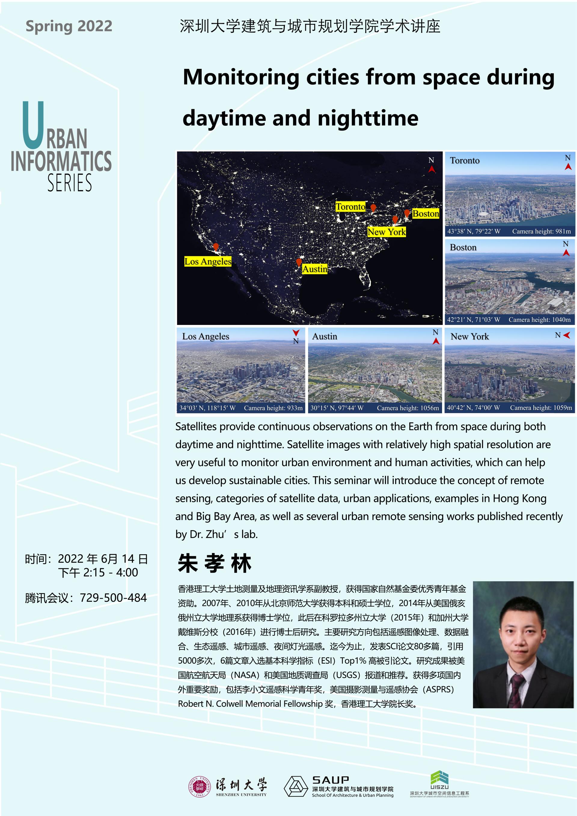
讲座内容:Satellites provide continuous observations on the Earth from space during both daytime and nighttime. Satellite images with relatively high spatial resolution are very useful to monitor urban environment and human activities, which can help us develop sustainable cities. This seminar will introduce the concept of remote sensing, categories of satellite data, urban applications, examples in Hong Kong and Big Bay Area, as well as several urban remote sensing works published recently by Dr. Zhu’s lab.
 版权所有©深圳大学 粤ICP备11018045号-7


 Sitemap


